In response to the remark of Sophie, that not everyone has the same relation to walking, for some of us a simple staircase can become mount everest.
This is a proposition of a quantify gaming interface that would approach both measured and contextual information. The game will encourage a diversity of approaches to walking and the consideration of each participant abilities (sometimes divergent); it will also emphasize difference in perception and attention to contextual information.
The would be based on a falsification of the recommendations found on wikihow: how to climb a mountain
###HOW TO CLIMB A MOUNTAIN
in 5 tableaux.An interface for everyone to build a mountain.
####Step 1
[1 Mountains create their own weather systems (micro-climates). Learn how to read portents of bad weather, how to read the clouds, how to test wind direction, and understand what weather changes throughout the day mean for your climb.]
HOME PAGE: dialogue box proposing to participants to describe their ideal mountain, successively asking:
- Which Climate do you think ids the best for a mountain ascentionn?
- Which respiration type do you imagine please determine your oxygen level
- Which height, how steep do you think you are able to climb?
- What is the lenght of you step? I limp, my steps are 1 meter long, I am exhausted after 5mn walking…
Chaque choix correspond à une vitesse d’ascension de la Montagne, et la moyenne des 3 critères déterminera la courbe d’ascension de la Montagne.
####Step 2
[2 Watch DVDs about mountain climbing experiences.]
First Scene: The game itself, showing the collective mountain.
- A montain serves as a basis for each climb experience that will add a new layer to the drawing. The position of the different layers will be determined by the information collected during the first step. The number of step made during the walk will be captured by from people’s smartphone accelerometer data.
The result will balance the number of steps with the information calculated at step 1.
-At the bottom of the screen one can see 2 levels, and a series of icons. The first level bar represent the number of steps of all users active at that moment. The second one is a color gradient varying according to the choices made at step 1, finally personal icons represent the people using the application a each moment.
Step3
[3 Assess your mental strength. Are you a good problem-solver? Do you panic easily or resort to making rash decisions? This kind of temperament is dangerous when climbing a mountain, which needs a steady head.]
A individual questionnaire asks about the sensations during effort: During or after the walk, participants are invited to speak about what they saw or felt, mental images, sensations, interactions etc…
####Step 4
[4 Learn about mountaineering ethics. Tread softly, This code was developed for safety purposes and is essential reading for beginners.]
Cartography: Presentation of ambient environement height of the different shops access to elevators, mechanical staircases friendly people and places, water etc…
####Step 5
[5 A mountain club can offer you specialized courses in such skills as (and you need to know them all): Ice climbing, cutting ice steps, using the ice axe. etc…]
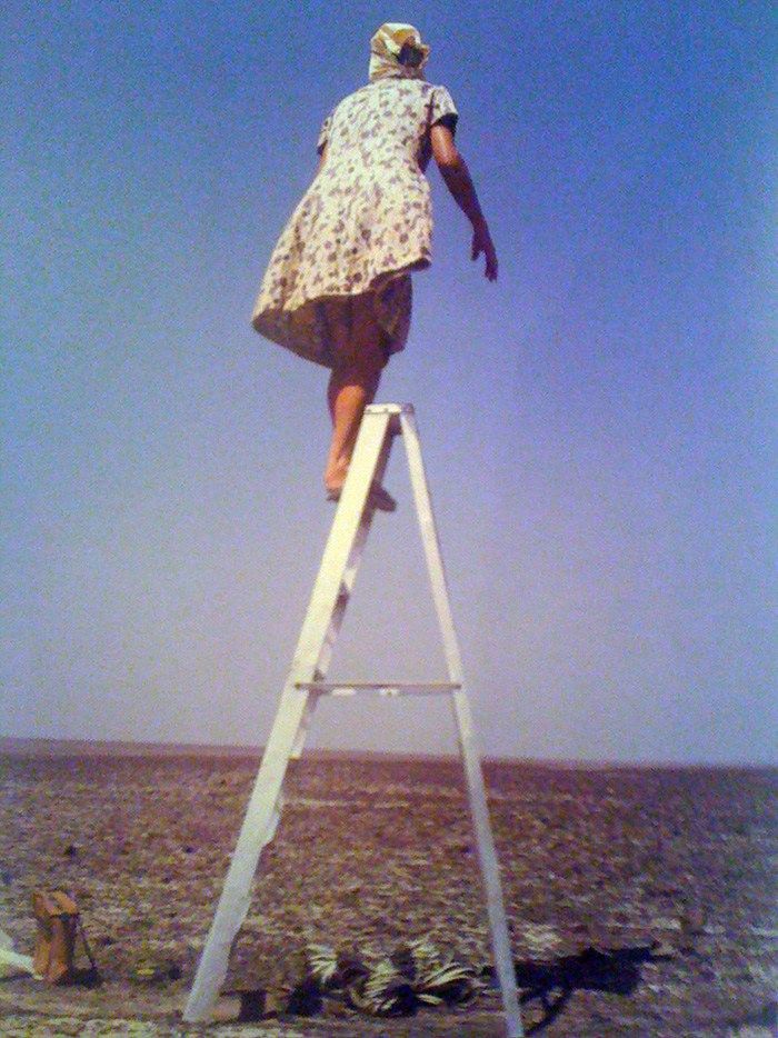
Our mountain climbing club wil lead a reflection on what are the conditions of mountain climbing, both looking at the contemporary mythology of the ascent (more then 4000 people climbed to mount everest summit, leaving behind detritus and death)
On the contrary sometimes the largest endeavors are approached by staying grounded, as Maria Reich did all her life while studying Nasca Lines. (thanks Femke)
Some links food for thoughts
Mount Everest the graveyard in the clouds a BBC report
“y permitir a las mentes abiertas recurrir al beneficio de la duda sobre
el “humanismo” del racionalismo científico. Ellos, los hombres “de
abajo”, fueron capaces de diseñar las figuras inescrutables de la vasta
llanura de Nasca; ellos lo hicieron para que fueran contempladas por
“algo” o “alguien” de “allá arriba” y nos dejaron su mensaje, no sin
antes advertir las consecuencias que podrían derivar del desconocimiento
de las leyes del universo: ignorancia y destrucción.”